Many people who live in new houses may not be aware that they inhabit the same space that prehistoric peoples once inhabited. Two new publications reveal that archaeology that spanned over 10,000 years, from traces of Late Upper Palaeolithic and Mesolithic hunter gatherers, to Neolithic farmers, Bronze Age metalworkers, Iron Age Fort dwellers and medieval kiln burners, once lay where new houses now stand.
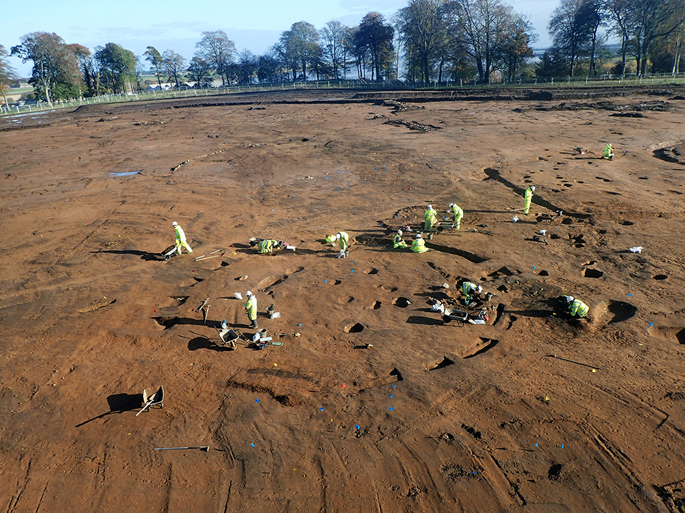
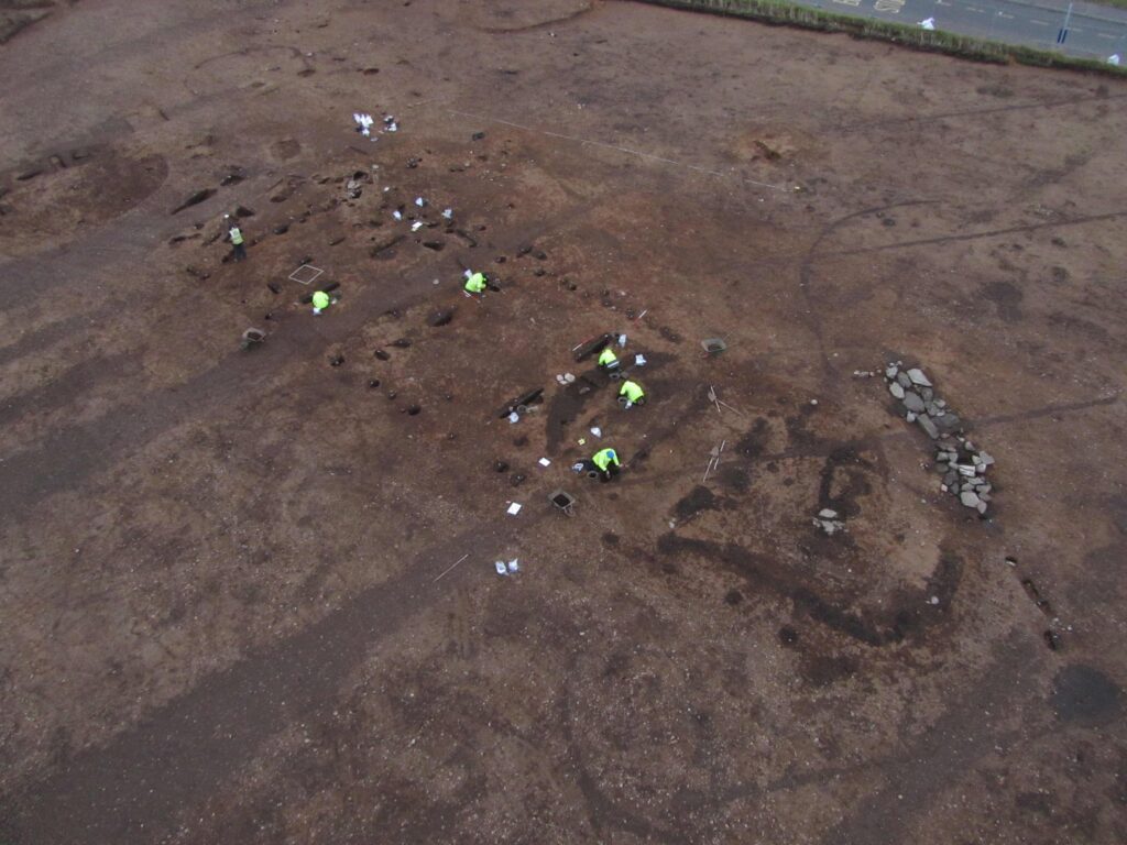
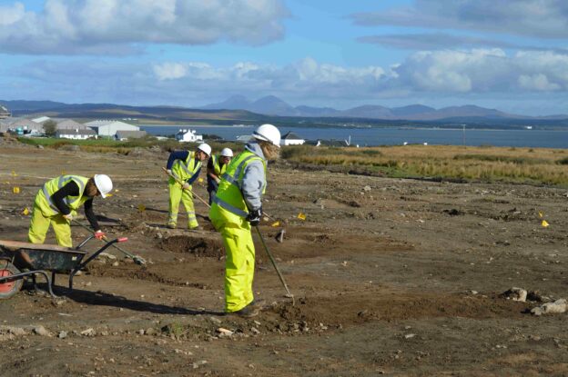
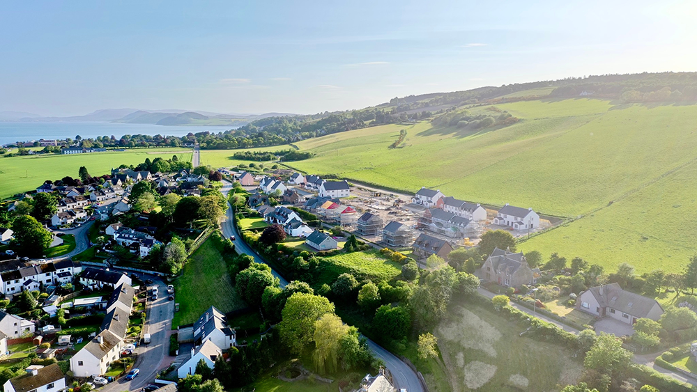
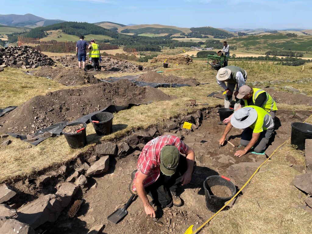
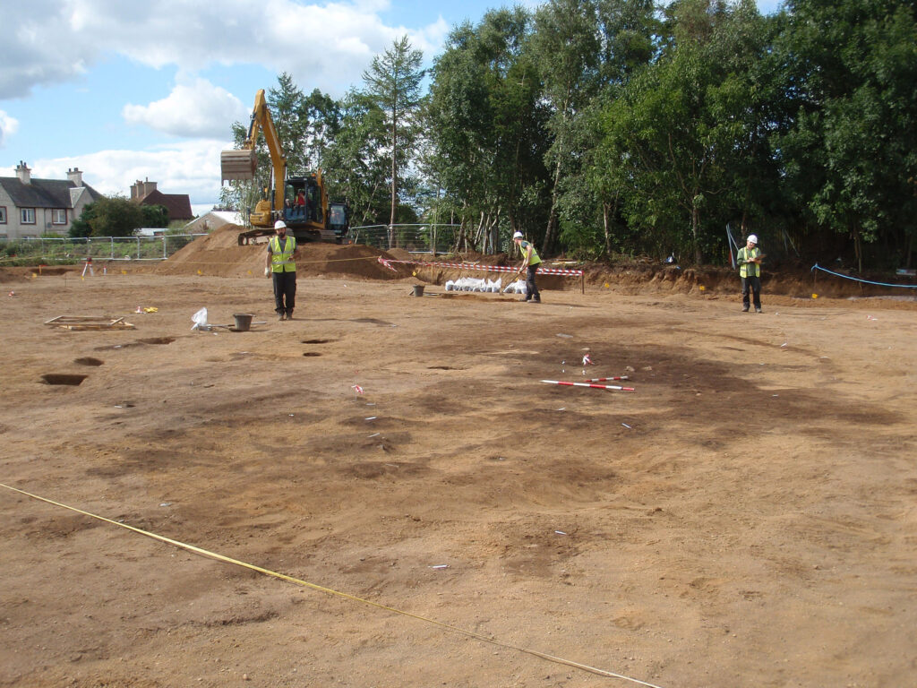
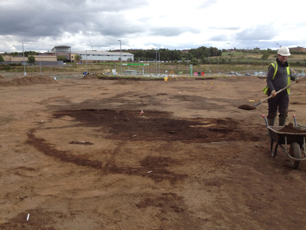
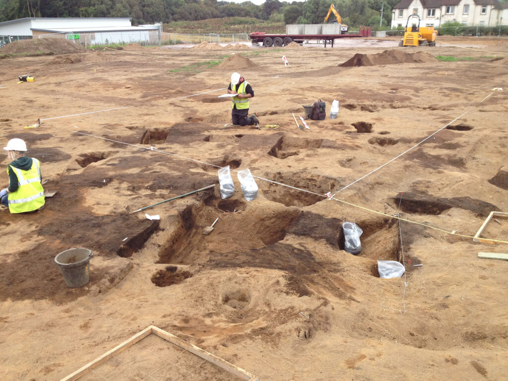
The discovery was made by GUARD Archaeology during archaeological excavations between 2017 and 2021 commissioned by Persimmon Homes North Scotland prior to construction of new houses at Guardbridge.
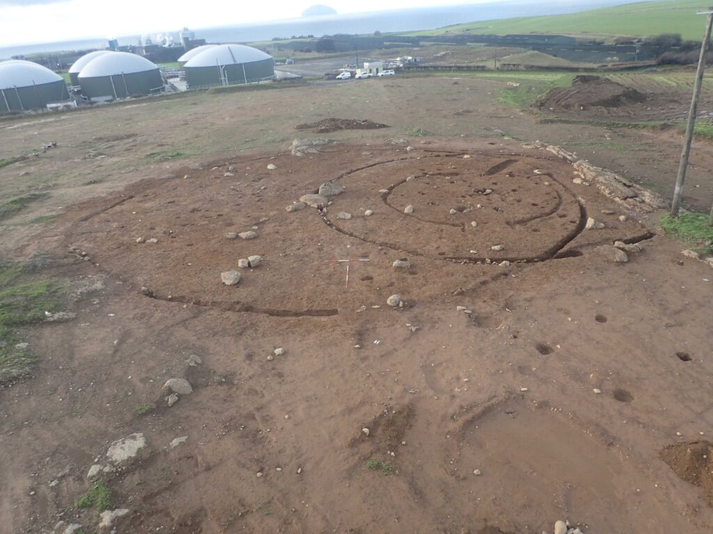
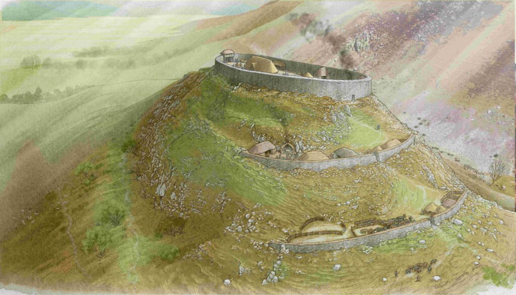
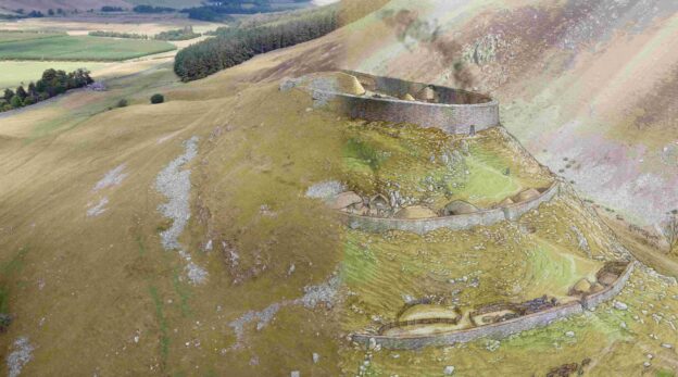
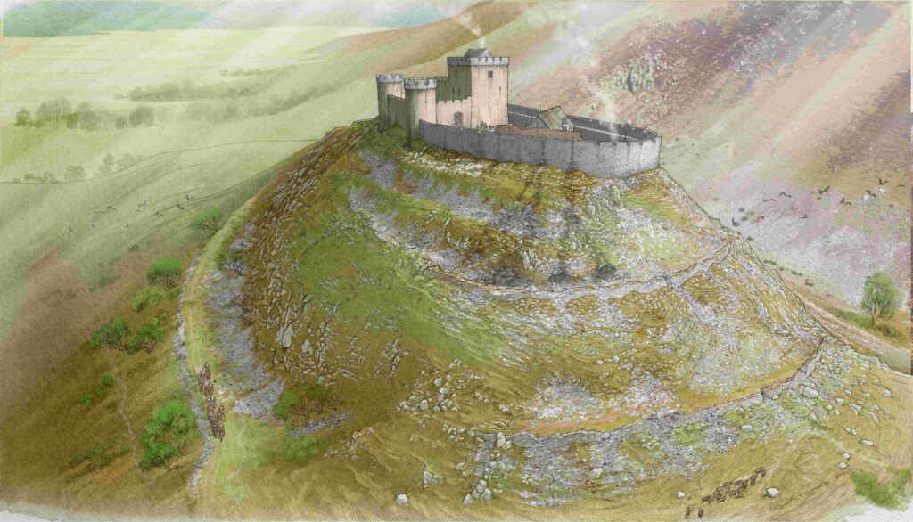
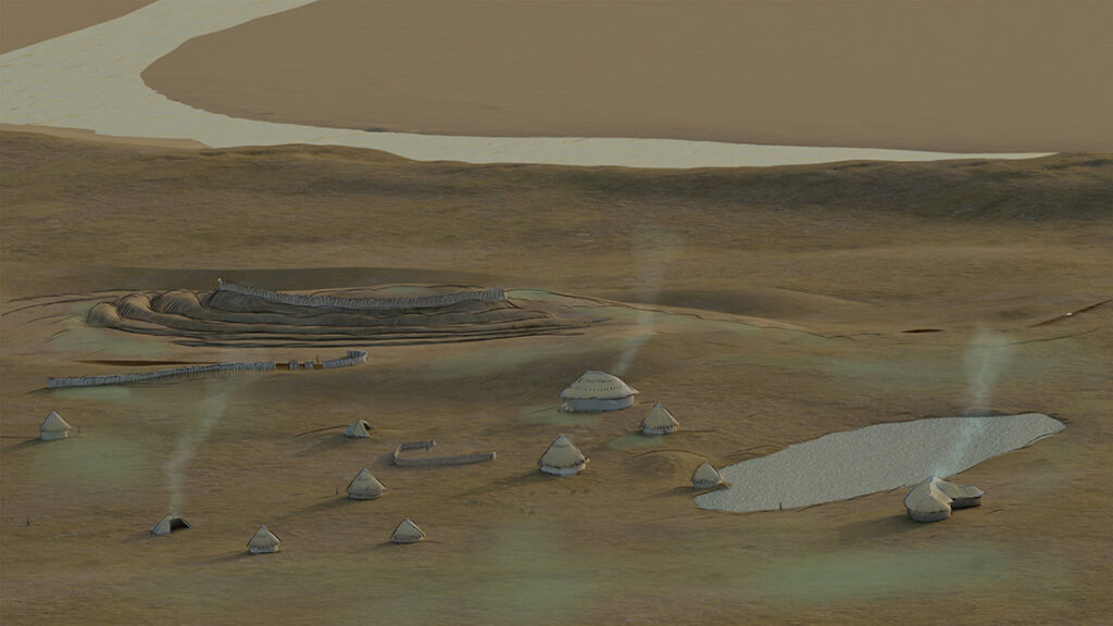
Before the excavation began, the ditches of a fort in the north-east corner of the site had already been identified on aerial photographs.
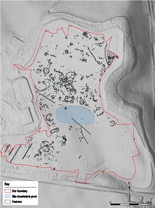
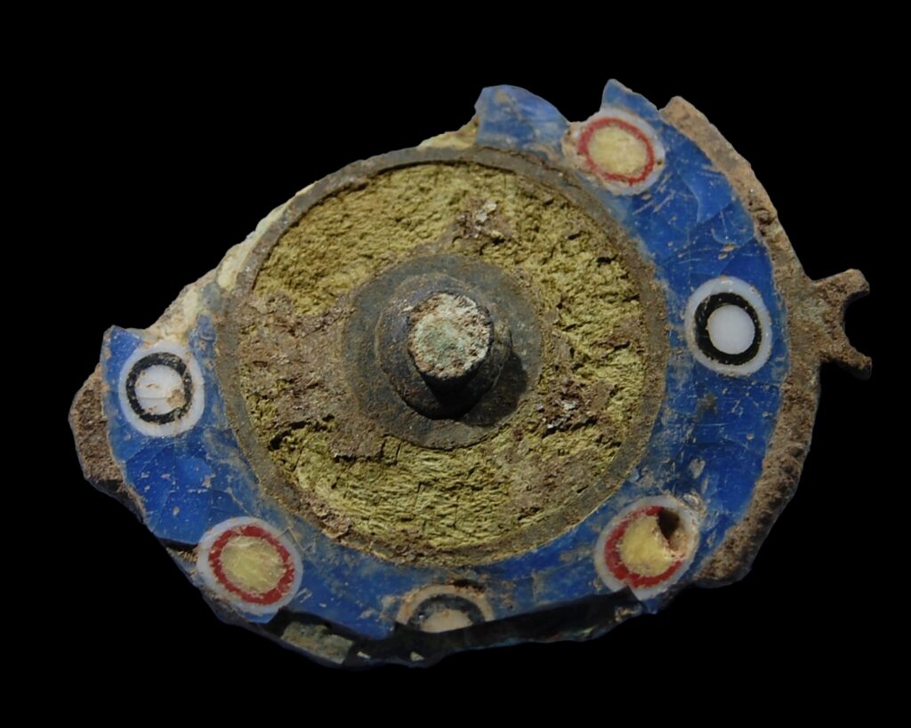
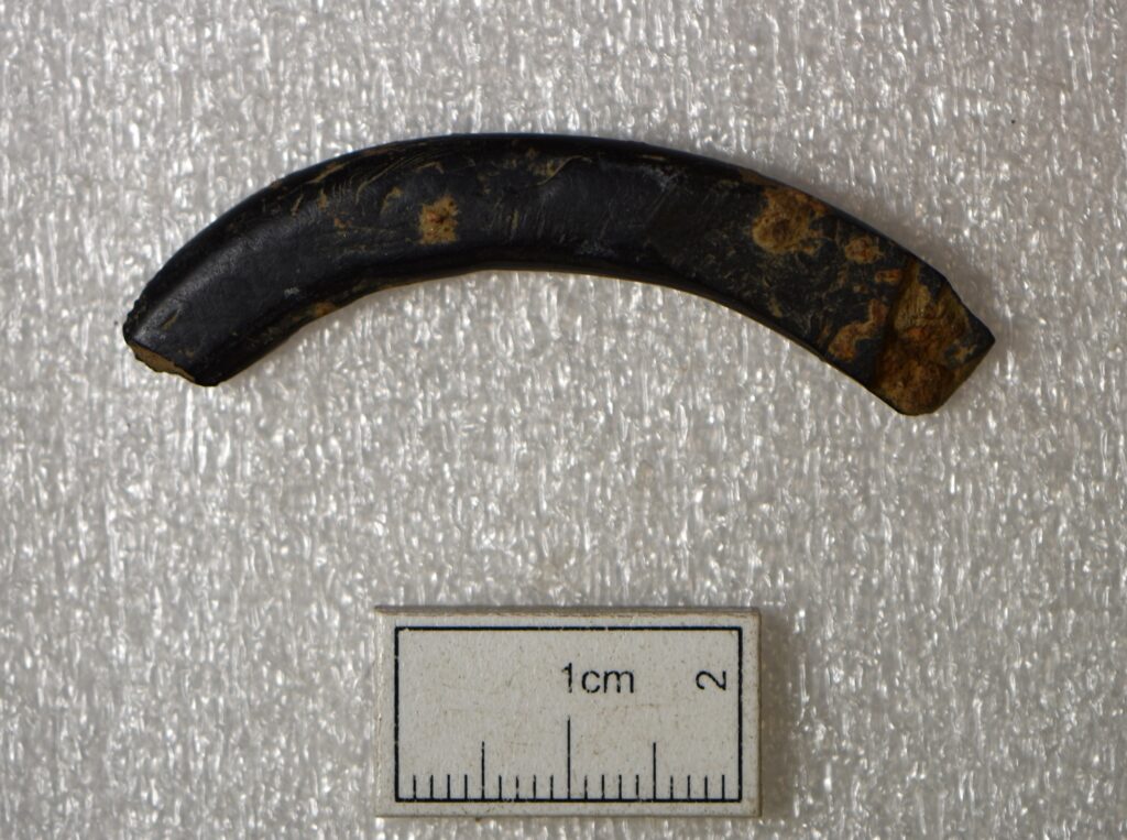
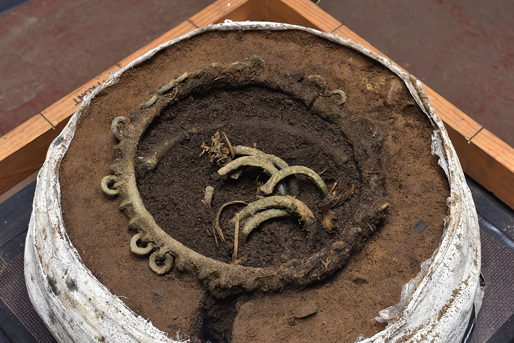
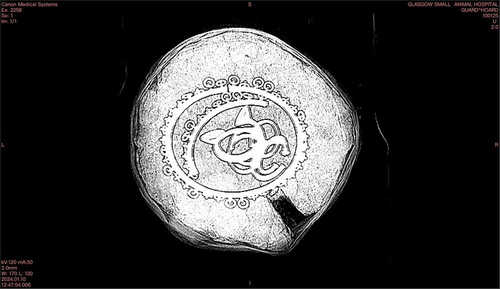
While most of this fort was left intact, the excavation revealed that it likely originated during the Late Bronze Age and continued through much of the Iron Age until the early centuries AD. Spindle whorls and loom weights attest to the weaving of woollen cloth by the fort’s inhabitants while fragments of shale bracelets demonstrate personal adornment.
But what was really surprising about this site was all the other archaeology found outwith the fort, not just Iron Age but much earlier too.
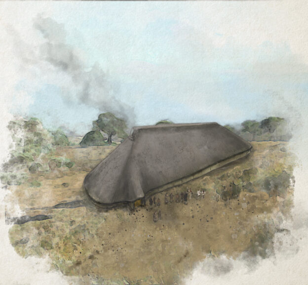
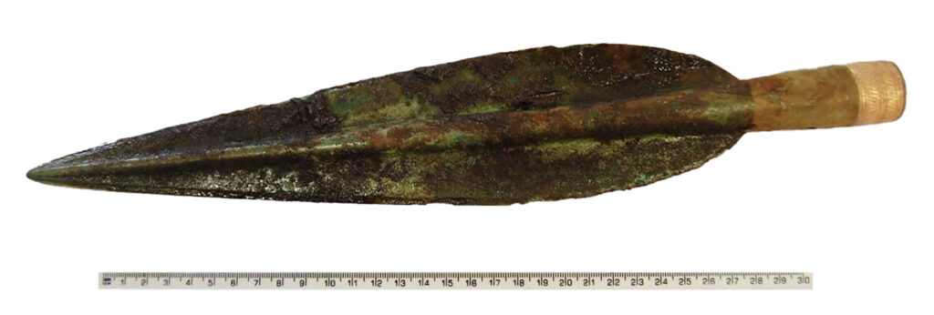
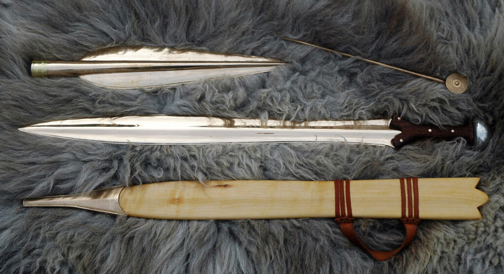
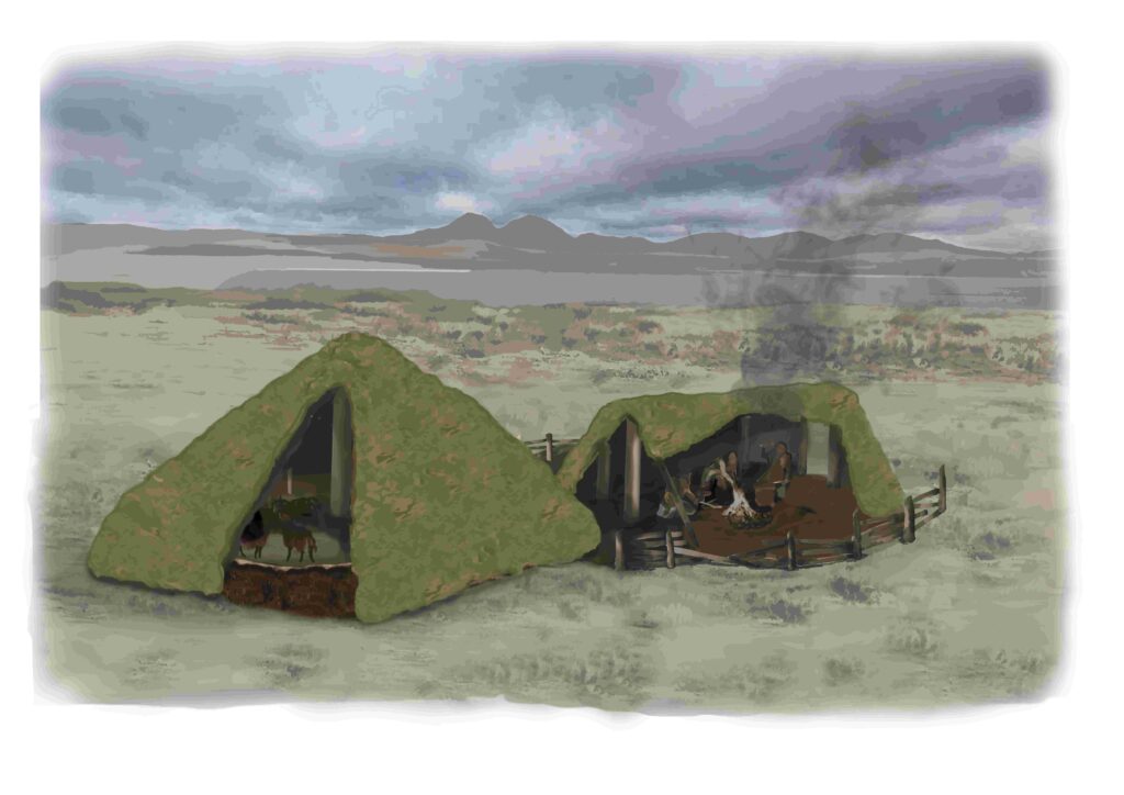
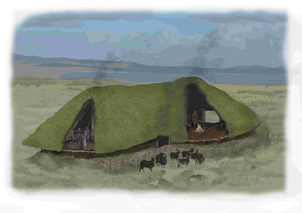
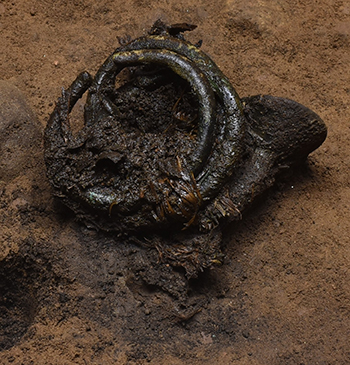
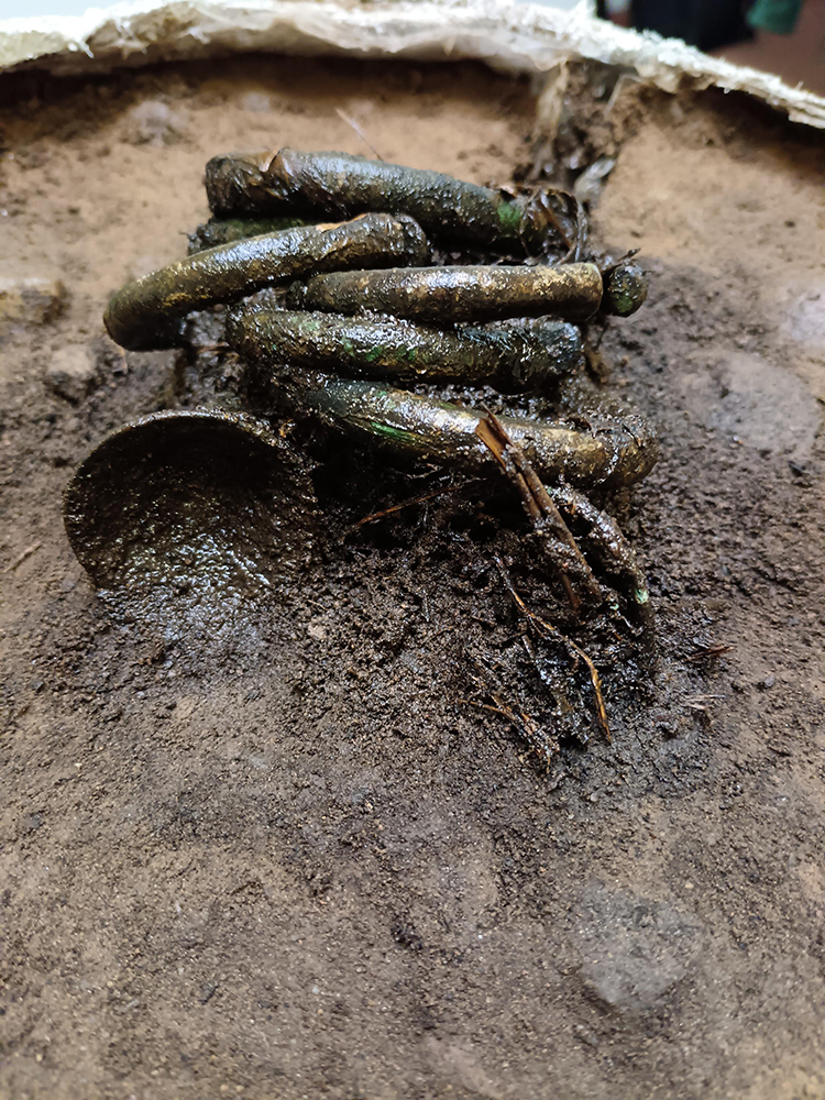
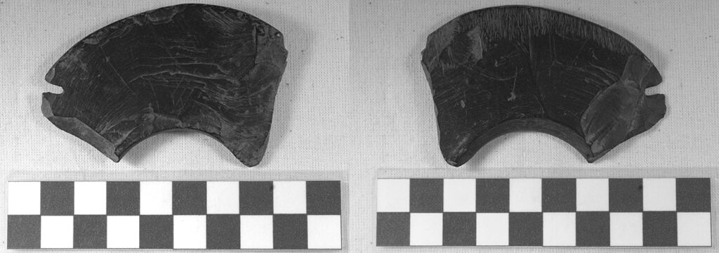
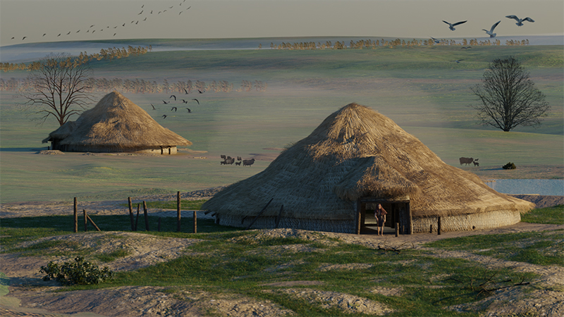
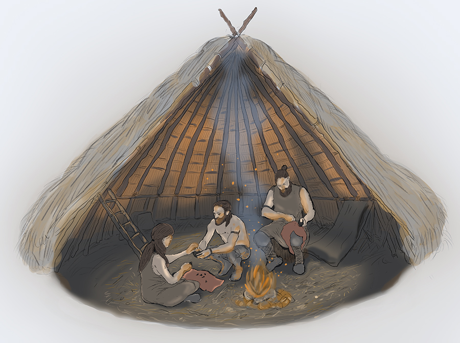
From earlier in the Bronze Age, the remains of substantial roundhouses were discovered, from which an assemblage of pottery sherds and animal bones were recovered. Metalworking was also carried out here during the late Bronze Age as rare casting moulds for a sword blade and a socketed gouge – a tool used in carpentry – were found. From the porch of one of the roundhouses was found evidence that one of its occupants had once sat there knapping flint for tools.
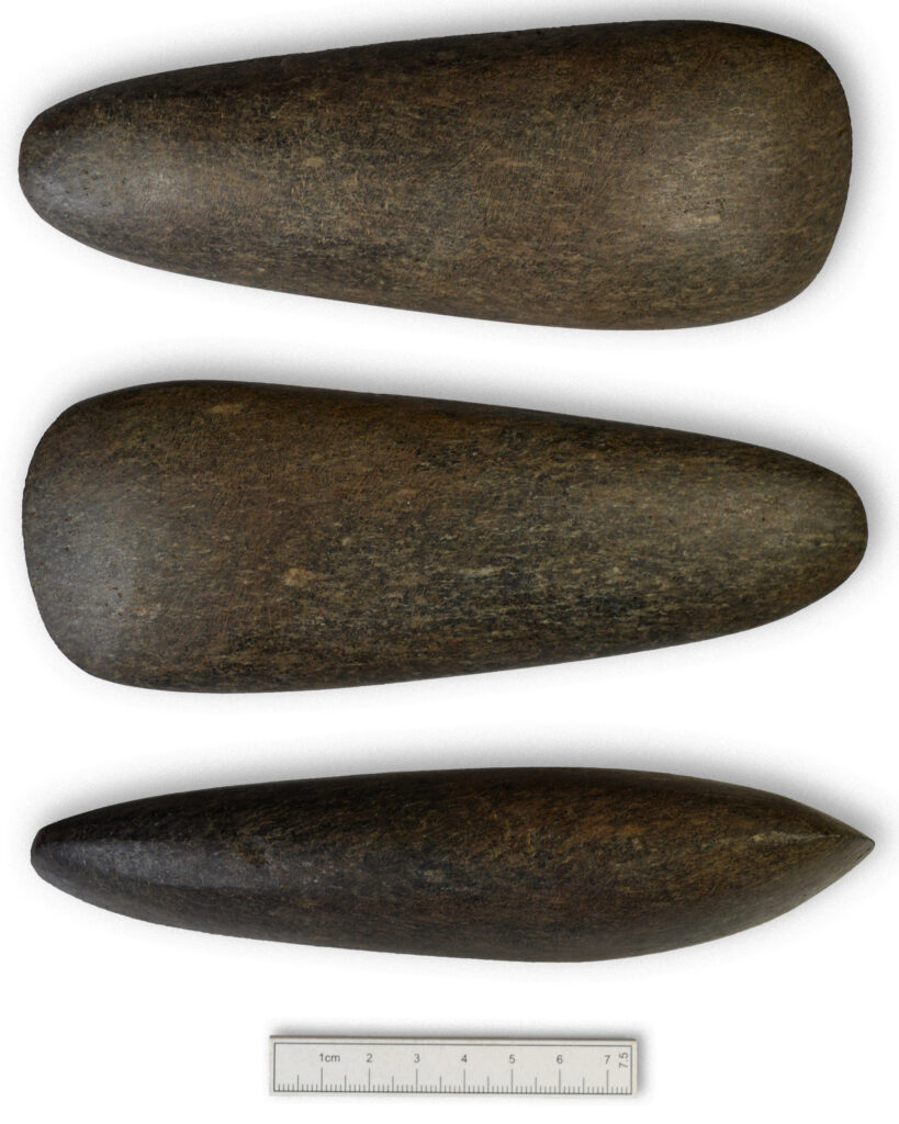
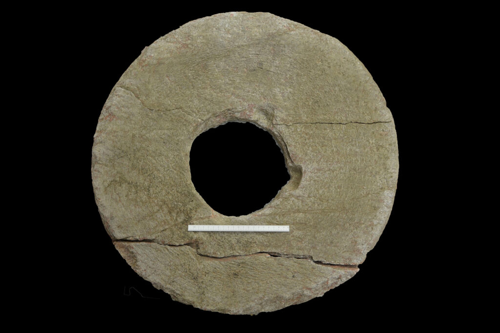
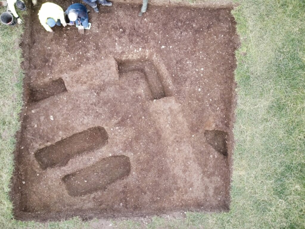
The site was also used before this, during the Neolithic by some of the first farmers of Fife who left many pits across this site, containing burnt cereal grains, saddle querns and pottery sherds but no trace of their houses.
And before even this, were traces of a temporary Mesolithic campsite. A fire-pit, radiocarbon dated to around 4320-4051 BC, was associated with a cluster of burnt lithics arranged in a distinctive star-shaped pattern, indicative of a tent or shelter, where a small group of hunter gatherers once camped to hunt and fish in the nearby estuary.
And below this was a scatter of flints from around 10,000 BC during the Late Upper Palaeolithic period where some of the very earliest inhabitants of Fife once sat knapping flint tools.
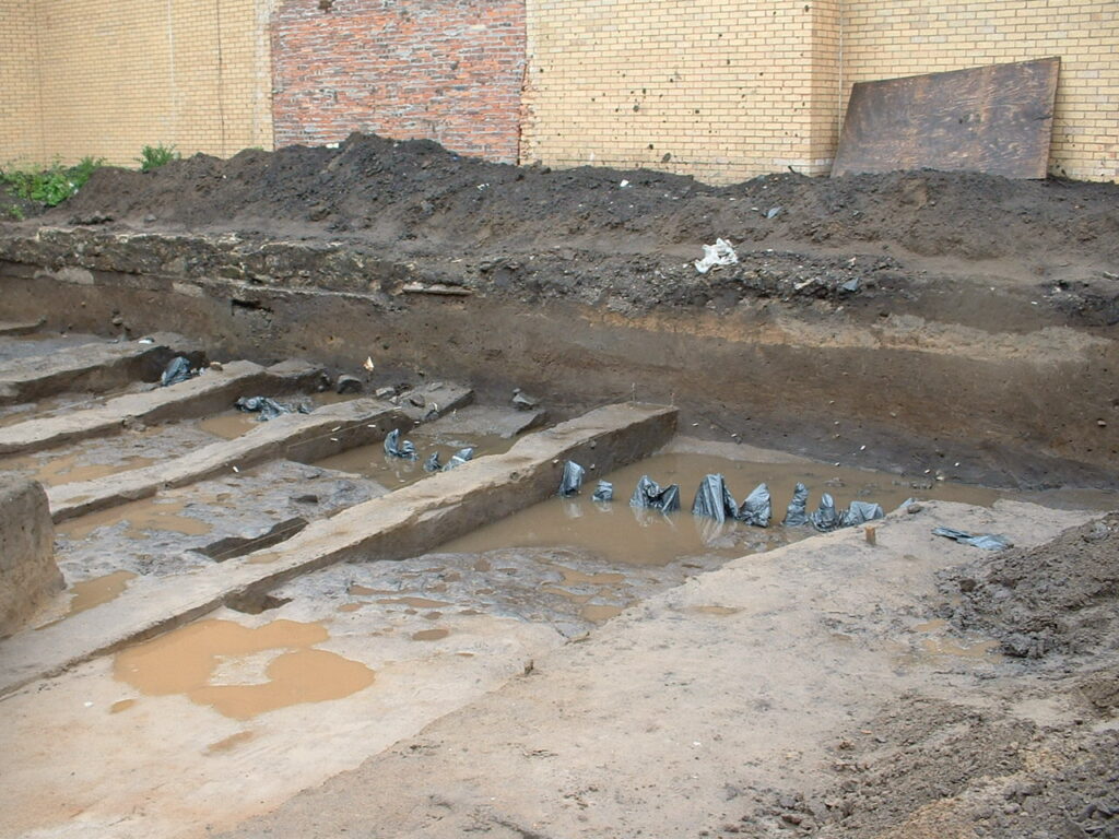
While settlement at this site seems to have drawn to a close around the end of the Iron Age, several medieval corn-drying kilns were also found, dating to between AD 900 and 1300. These kilns were presumably worked by labourers of ‘Segy’ farm. The different construction techniques apparent shows how these kilns changed over time, improving in design and size to meet the growing demand from the growing medieval population of Fife.
These were the last traces of archaeology with origins stretching back in some form or another to some of the earliest occupation of Scotland.
The archaeological work was funded by Persimmon Homes North Scotland and was required as a condition of planning consent by Fife Council who are advised on archaeological matters by the Fife Council Archaeology Service, who considered there to be a potential for hitherto unknown archaeology to be buried at the site due to the proximity of known prehistoric archaeology.
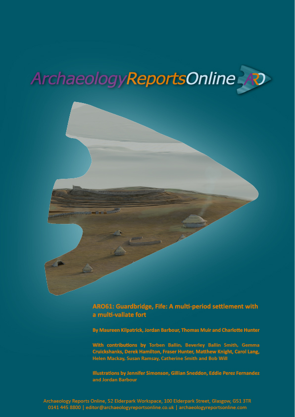
The excavation report, ARO61: Guardbridge, Fife: A multi-period settlement with a multi-vallate fort by Maureen Kilpatrick, Jordan Barbour, Thomas Muir and, Charlotte Hunter is freely available to download from Archaeology Reports Online.
And look out for a short booklet, Guardbridge, Fife: An Eden for Settlement through the Ages by Rachel Buckley and Maureen Kilpatrick.